
Mapa topográfico Le Sappey-en-Chartreuse
Mapa interactivo
Haga clic en el mapa para ver la altitud.
Acerca de este mapa
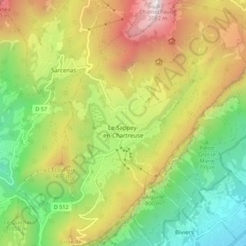
Nombre: Mapa topográfico Le Sappey-en-Chartreuse, altitud, relieve.
Altitud media: 1,057 m
Altitud mínima: 312 m
Altitud máxima: 2,072 m