
Gracias por apoyar a este sitio ❤️
Haz una donación
Haz una donación
Mapa topográfico Holletts Corners
Haga clic en el mapa para ver la altitud.
Gracias por apoyar a este sitio ❤️
Haz una donación
Haz una donación
Acerca de este mapa
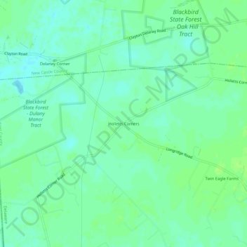
Nombre: Mapa topográfico Holletts Corners, altitud, relieve.
Lugar: Holletts Corners, Kent County, Delaware, United States (39.26956 -75.75271 39.30956 -75.71271)
Altitud media: 21 m
Altitud mínima: 15 m
Altitud máxima: 25 m
Gracias por apoyar a este sitio ❤️
Haz una donación
Haz una donación
Otros mapas topográficos
Haga clic en un mapa para ver su topografía, su altitud y su relieve.
Gracias por apoyar a este sitio ❤️
Haz una donación
Haz una donación
Gracias por apoyar a este sitio ❤️
Haz una donación
Haz una donación
Gracias por apoyar a este sitio ❤️
Haz una donación
Haz una donación
Gracias por apoyar a este sitio ❤️
Haz una donación
Haz una donación